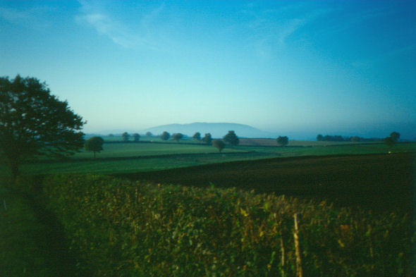
Figure 5: View of the Arroux valley
Given the significance of the Mont Beuvray-Autun region during later prehistory and the first millennium AD and at the invitation of the Centre Archéologique Européen du Mont Beuvray, we decided that there would be considerable value in undertaking a limited trial programme of fieldwork there, with the principal aim of developing appropriate survey techniques for locating and characterising Iron Age and Gallo-Roman settlements.
If this proved successful, it ought to be feasible, at least in the longer term, to characterise the nature and dynamics of rural settlement in the environs of these two major sites. To be able to do so seems increasingly important in view of the evidence now emerging from regions as far apart as the Auvergne and Picardy indicating that the occupation of oppida often coincides with a temporary diminution in rural site numbers (Guichard et al. 1996; Haselgrove 1996; 2007). Equally, more information on Gallo-Roman rural settlement is essential if we are to compare developments in the Autun environs with those around other civitas capitals in the western Empire. In effect, to understand more fully the nature and development of these larger Iron Age and Roman centres, we need to answer such questions as:
Figure 5: View of the Arroux valley
At present, in an essentially rural and pastoral area like southern Burgundy with relatively little large-scale development, ground survey appears to provide our best starting point for gathering data to provide answers. For the reasons already indicated, we chose to focus on the Arroux valley as the one substantial block of low-lying ground near both to Mont Beuvray and to its Roman successor and also because the earlier work by Crumley and Niaux held out the prospect of finding some sites through conventional fieldwalking. For the much larger areas under pasture, we decided at the outset that, although the crystalline geology of the adjacent Morvan uplands might pose problems, our best option for locating sites was likely to be extensive geophysical survey. Since the available time and resources were not going to allow us effective coverage of the valley both upstream and downstream of Autun, we decided to target the stretch between Autun and Etang-sur-Arroux, the closest point to Mont Beuvray.
The actual fieldwork was carried out over four seasons. Following a two-week pilot season in August 2000 to test the intended survey techniques, three seasons of work were undertaken between 2001-2003, each consisting of a four-week spell in August with a team of 6-8 people made up of staff and students of the Universities of Durham and Reading, supplemented by further short seasons of fieldwork in October by a smaller team. The work reported here was funded by the British Academy and the Centre Archéologique Européen (CAE) at Glux-en-Glenne, with geophysical equipment being provided by the two Universities. Interim reports on the work have appeared in the annual reports of the CAE (Haselgrove et al. 2001, 2002, 2003 and 2004).
© Internet Archaeology/Author(s)
URL: http://intarch.ac.uk/journal/issue25/3/2.html
Last updated: Wed Oct 29 2008