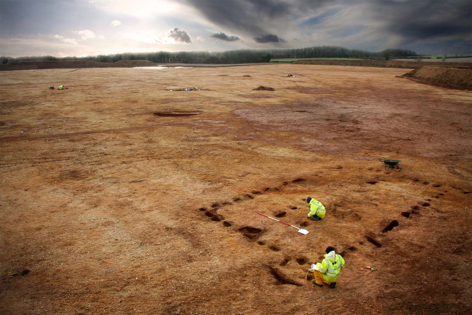
Developer-led excavation in advance of gravel extraction
at Horcott, Gloucestershire. Image used with kind
permission of Oxford Archaeology.
1.Institute of Archaeology, University of Oxford, 36 Beaumont Street, Oxford OX1 2PG. Email: wendy.morrison@arch.ox.ac.uk (0000-0001-9958-7435)
2. English Heritage, The Engine House, Fire Fly Avenue, Swindon SN2 2EH
3. Institute of Archaeology, University of Oxford, 36 Beaumont Street, Oxford OX1 2PG. (0000-0001-8761-9540)
Cite this as: Morrison, W., Thomas, R. and Gosden, C. 2014 Laying Bare the Landscape: commercial archaeology and the potential of digital spatial data, Internet Archaeology 36. https://doi.org/10.11141/ia.36.9
Developer-led excavation in advance of gravel extraction
at Horcott, Gloucestershire. Image used with kind
permission of Oxford Archaeology.
This article summarises the methodology we have applied to an intensively investigated part of the Upper Thames Valley. We discuss the potential of digital spatially referenced data to help bridge the gaps between the various commercial units who work side by side in the landscape, as well as between the various planning authorities. This article will be of interest to anyone working with digital data or with diverse datasets to understand wider landscapes, as well as anyone working with various funders, developers, and consultancies to plan for the best use of such 'big data' to improve heritage management and archaeological enquiry.
Go to Table of Contents.